Home
Site and mobility analysis in Rhino & Grasshopper.
🚀 Features
A preview of what Urbano enables you to do
-

DOWNLOAD GEOSPATIAL DATA
Download maps and points-of-interest data from OpenStreetMap directly in Grasshopper.
-

IMPORT & AGGREGATE DATA
Parse and merge layers from OSM or shapefiles into a single coherent project model.
-

LOOK-UP & MODIFY METADATA
Attach, query and parametrically edit metadata on any geometric object.
-

BUILD MOBILITY MODEL
Auto-generate a topological street network and building access points ready for simulation.
-
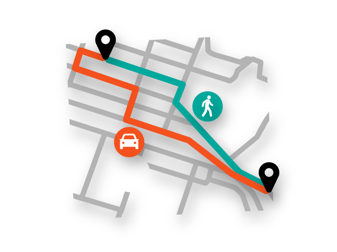
MULTI-MODAL ROUTING
Compute fastest paths for pedestrians, cyclists or cars between origins and destinations.
-

SIMULATE WITH TRIP ENGINE
Launch activity-based simulations using Amenity Demand Profiles (ADP).
-

ANALYSE AMENITIES & STREETS
Evaluate Streetscore, Amenityscore and Walkscore to assess vitality and accessibility.
-
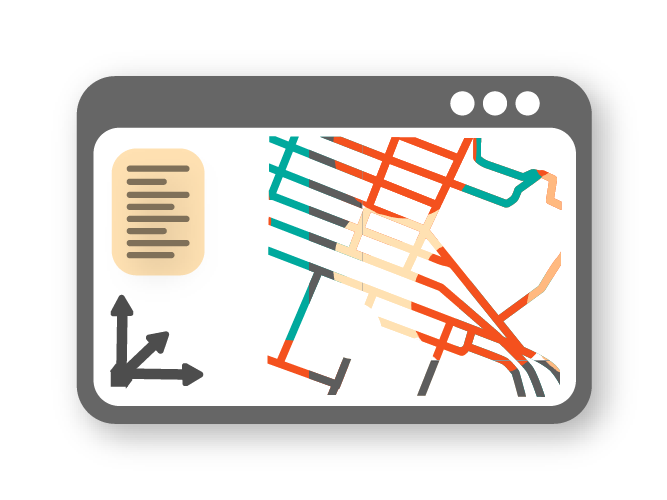
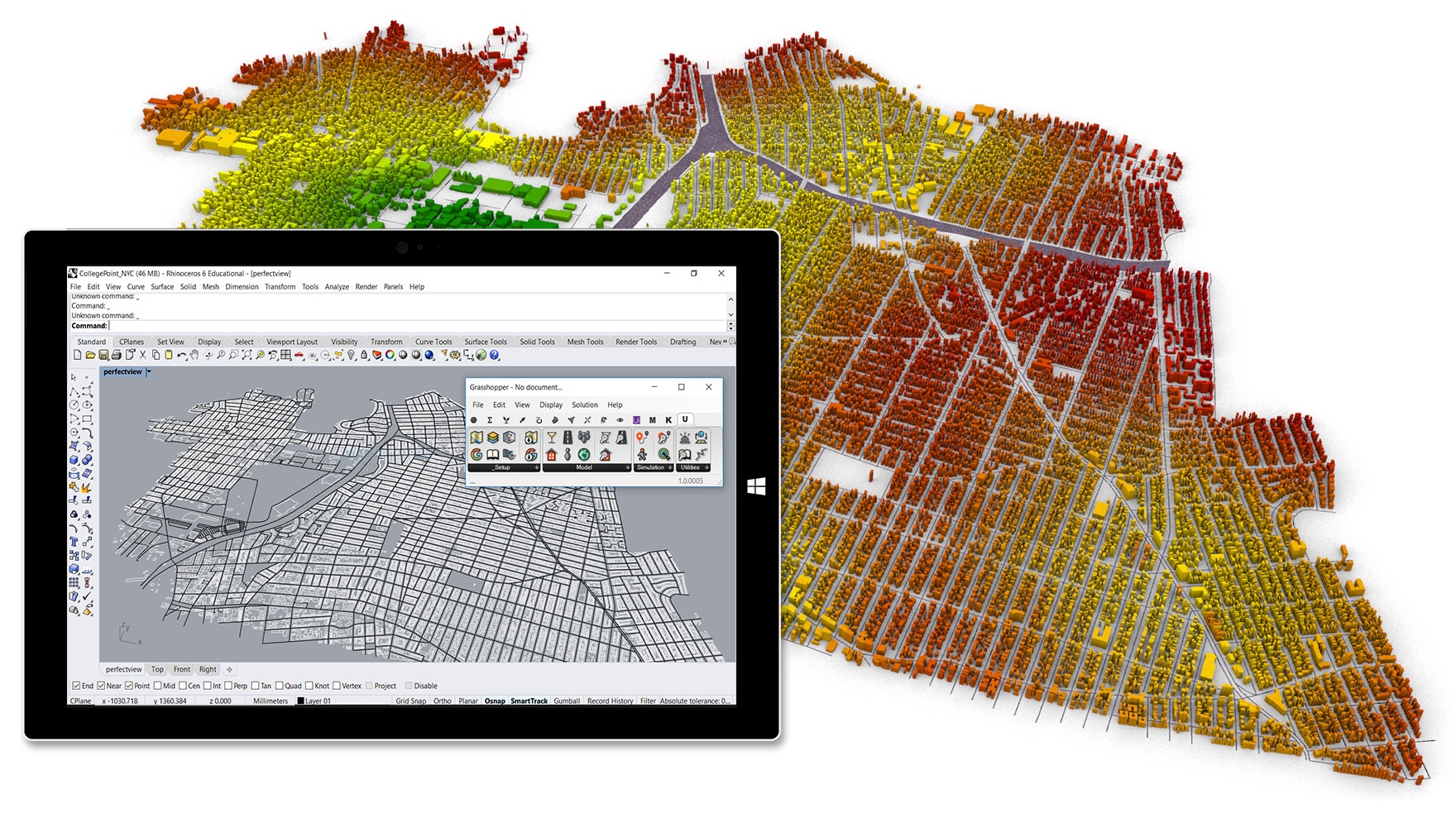
INTEGRATED CAD WORKFLOW
Bake geometry with metadata back to Rhino and visualise results instantly.
📊 Metrics
-
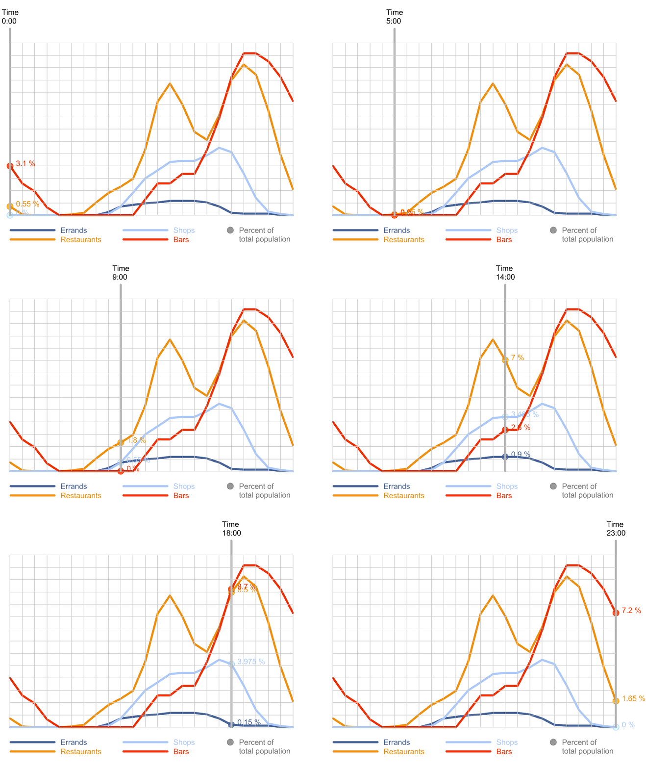
AMENITY DEMAND PROFILE
Spatiotemporal distribution of human activities; default data provided and fully editable.
-
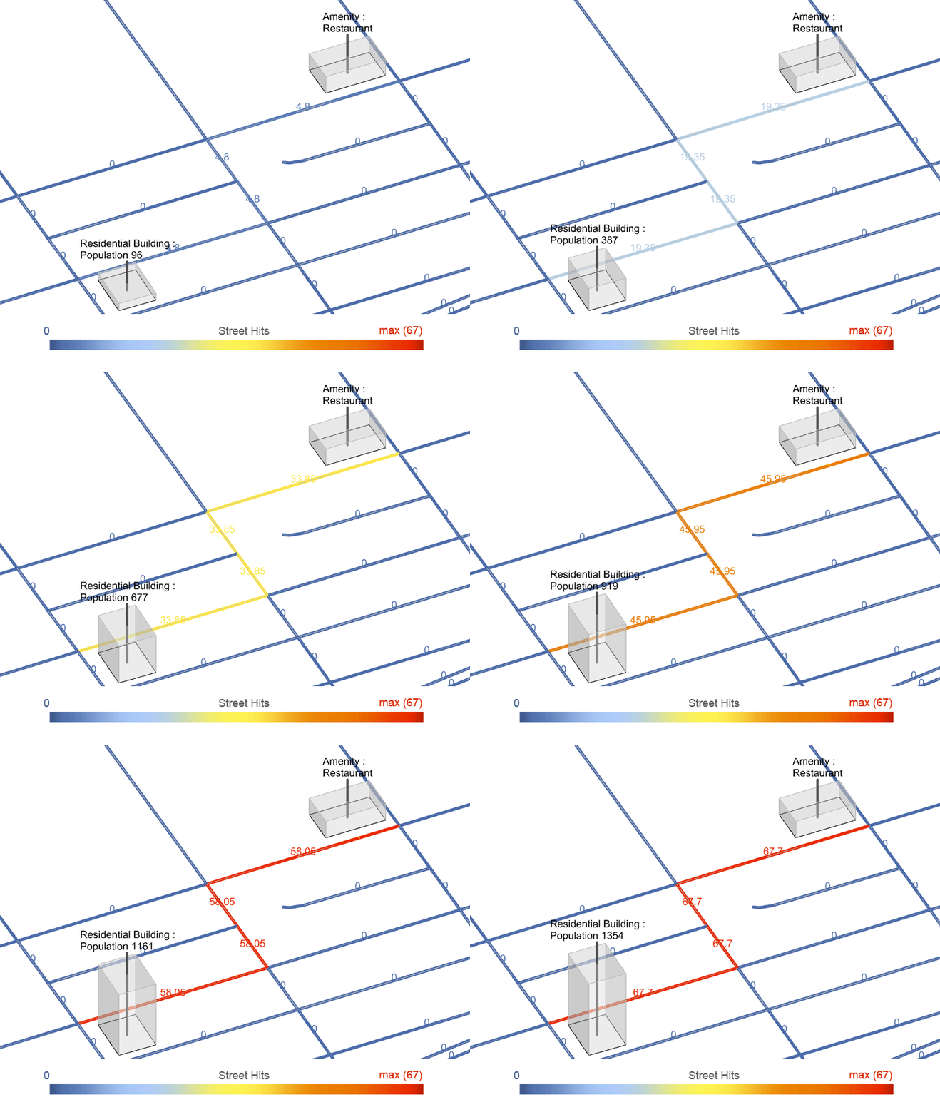
STREETSCORE
Counts Street Hits to show how many simulated trips use each street segment.
-
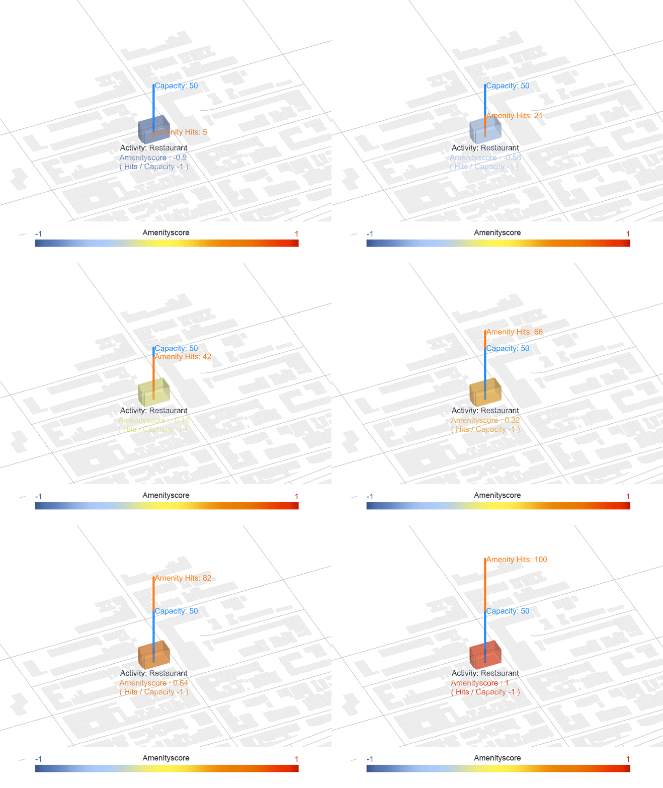
AMENITYSCORE
Compares amenity demand (Amenity Hits) with supply to reveal over- or under-served areas.
-
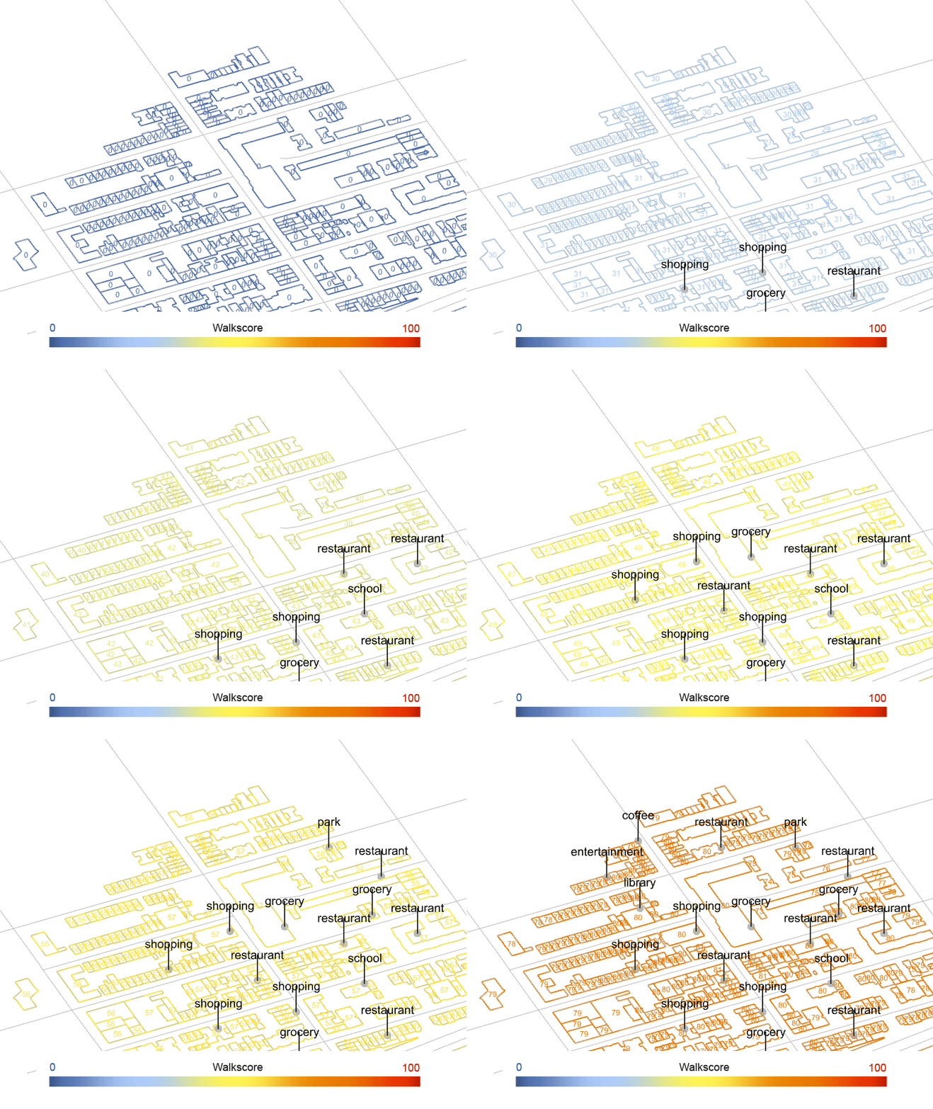
WALKSCORE
Calculates a 0-100 walkability rating with customisable weightings.
🛠️ Samples
Use cases with Urbano components
-
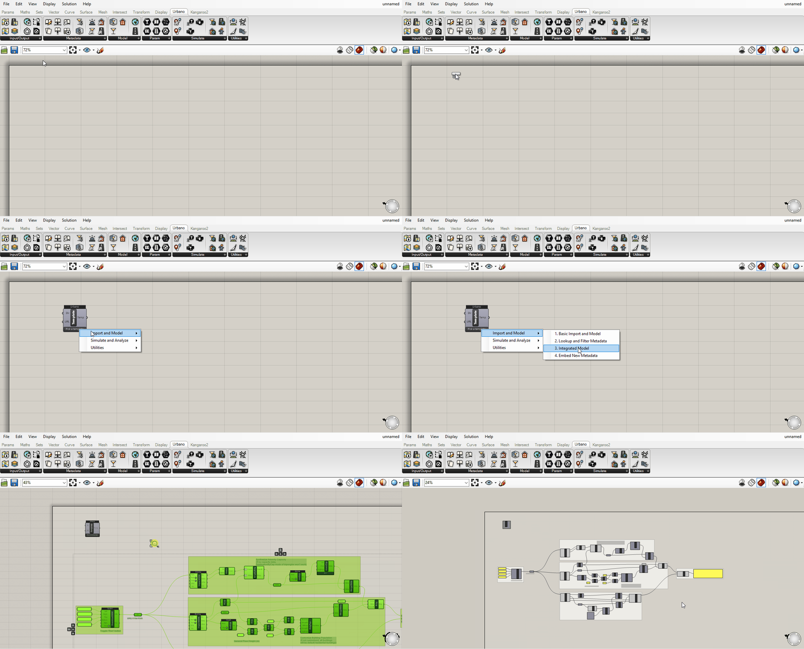
URBANO TEMPLATES
Import Urbano Template – starter files that demonstrate each core workflow.
-
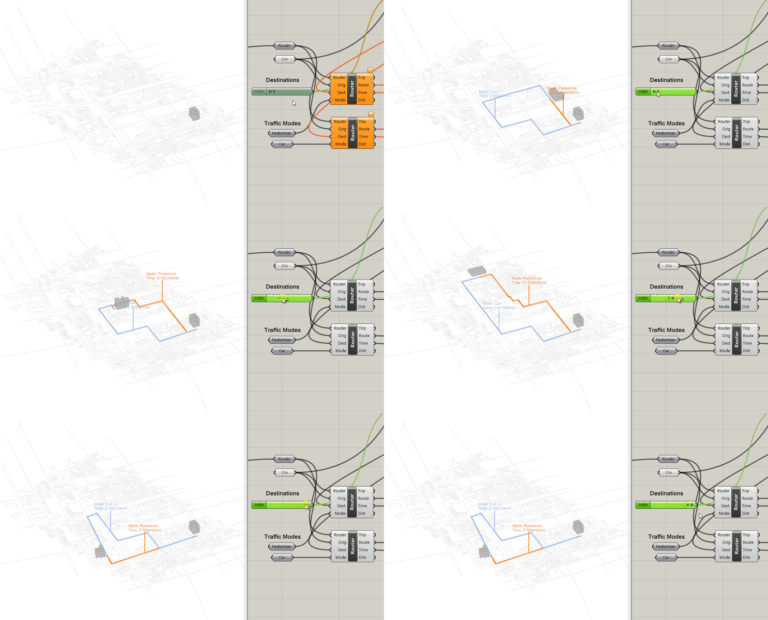
ROUTING
Router – compute shortest paths, distances and travel times for multiple traffic modes.
-
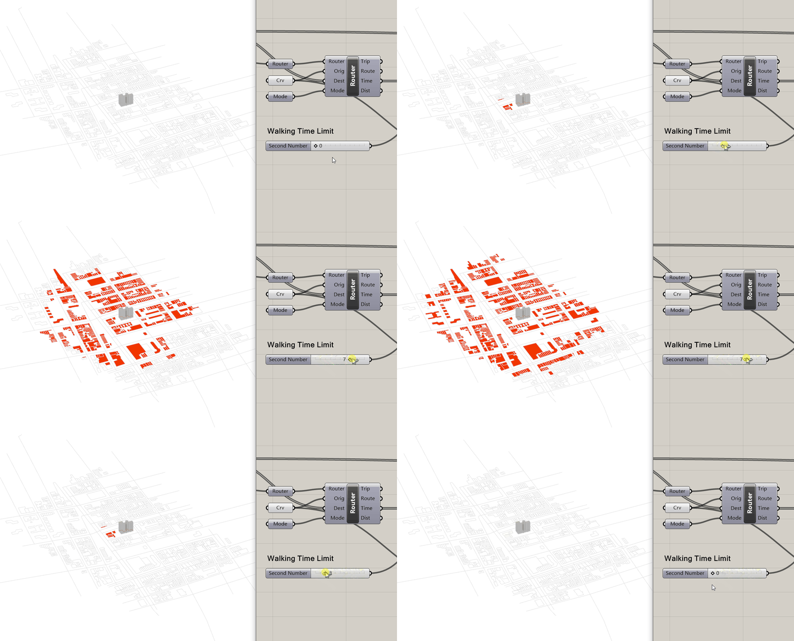
ACCESSIBILITY WITHIN DISTANCE
Router – visualise all buildings reachable from an origin within a chosen threshold.
-
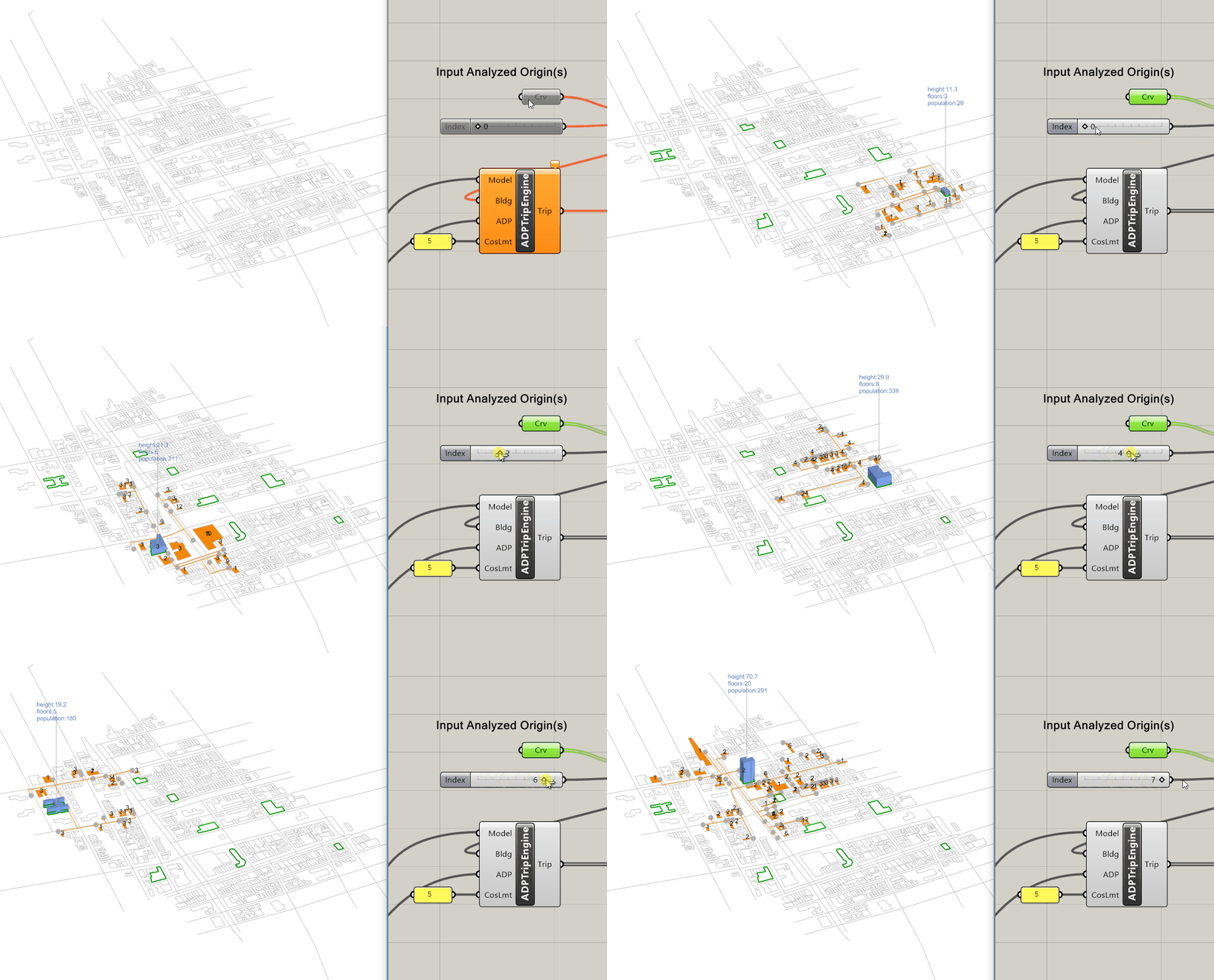
TRIPS FROM GIVEN ORIGIN
ADP Trip Engine & Inspect Trip – split population by ADP and send trips to valid amenities.
-
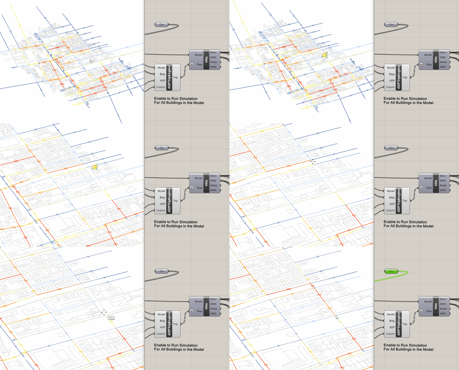
STREETSCORE (ADD LINK)
ADP Trip Engine & Street Hits – add or remove links and see Street Hits update instantly.
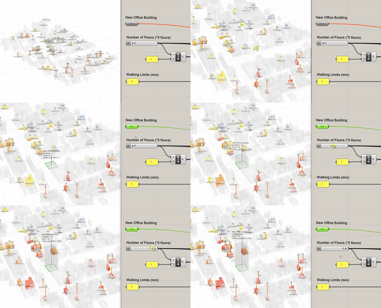
-
AMENITYSCORE (ADD POPULATION)
ADP Trip Engine & Amenity Hits – add building occupants and observe nearby amenity utilisation.
-
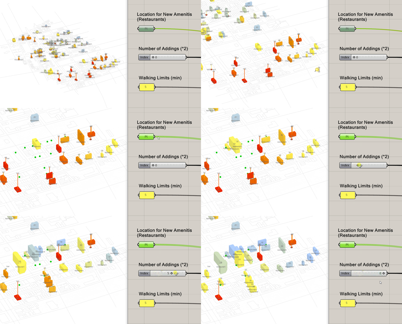
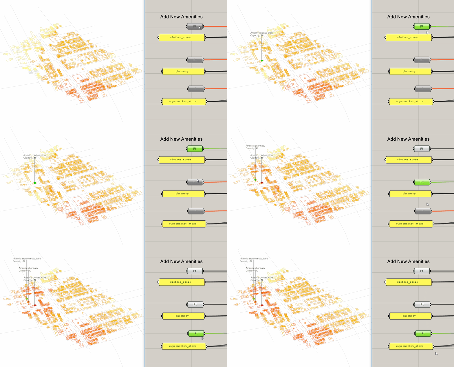
AMENITYSCORE (ADD AMENITIES)
ADP Trip Engine & Amenity Hits – insert new amenities to balance supply and demand.
-
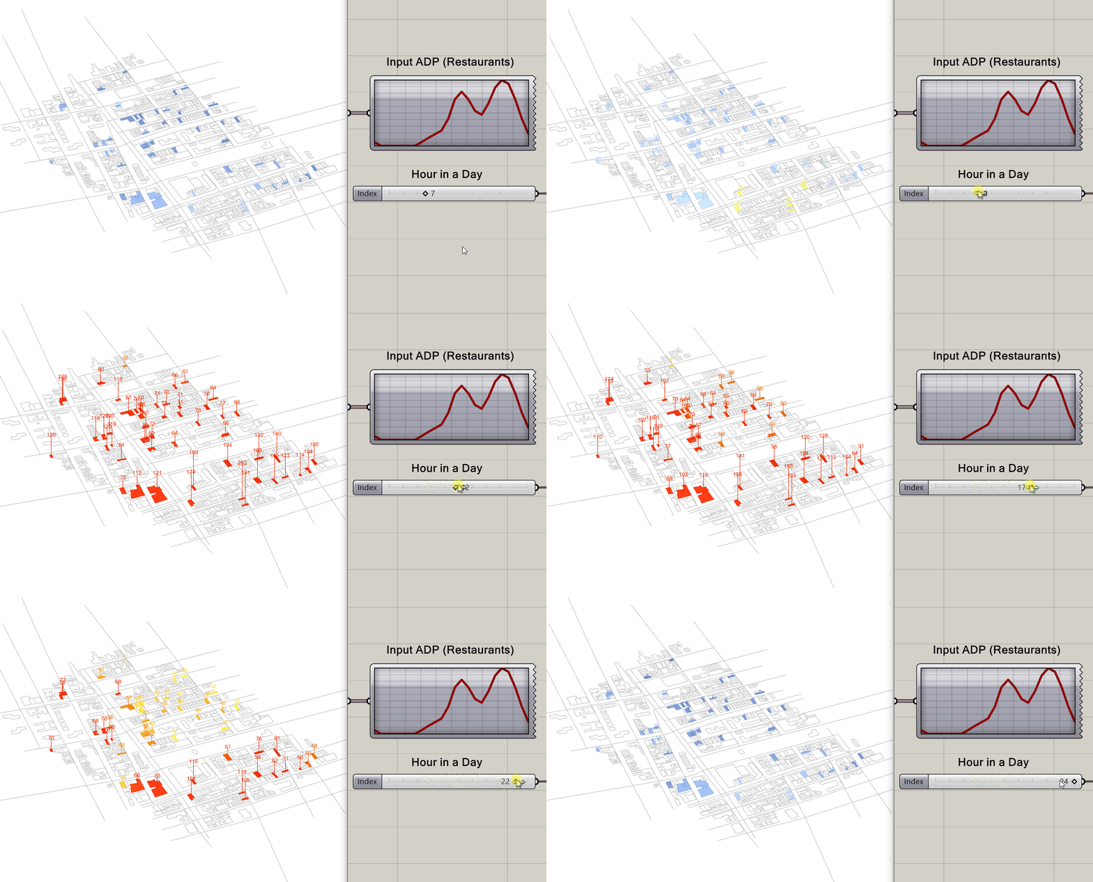
AMENITYSCORE (ADP TIME STEPS)
ADP & Trip Engine – run 24-hour simulations to capture temporal variations.
-
WALKSCORE (ADD AMENITIES)
Trip Engine & Walkscore – add missing amenities to improve walkability scores.
👥 Team
👥 Alumni & Advisors
Urbano is being developed as a cross-disciplinary project through a collaboration between the Environmental Systems Lab at Cornell AAP, and the Systems Engineering department at Cornell Engineering.
🎉 Supporters
